Logging in the Nooksack Basin -will it increase flooding and destruction of salmon habitat?
Recent observations in streamflow data show an increased frequency of flash flooding in the Middle Fork Nooksack Drainage.
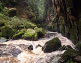
Recent observations in streamflow data show an increased frequency of flash flooding in the Middle Fork Nooksack Drainage. In 2021, the Nooksack River floods damaged over 2,000 properties and forced 500 people out of their homes. Conservationists think this frequency of flooding could be an unforeseen consequence of logging.
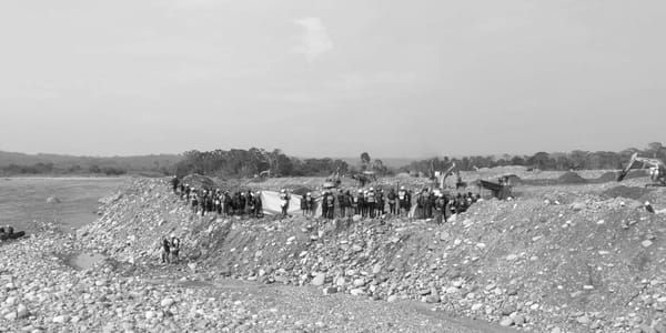
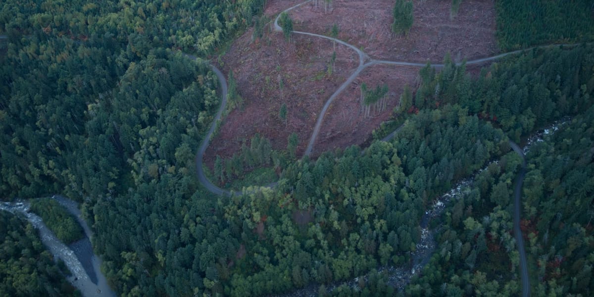
The Middle Fork Nooksack has undergone extensive logging operations for over a century. All timber sales in the Middle Fork Drainage are owned and auctioned by the Department of Natural Resources. Non-profit organizations such as RE Sources and the Center For Responsible Forestry work toward preserving these forests and halting the auction of timber sales. These efforts were successful when they protected the "Upper Rutsatz" Timber Sale from being clear-cut in 2022.
“There are many factors that go into proposing a timber sale, but flooding generally isn't taken into account,” says former Center of Responsible Forestry employee Carly Lloyd.
When it rains on a clear-cut area, the lack of root structure in the ground causes the water to flow quickly downhill relatively close to the surface. Lloyd described how other factors like roads and inadequate stream buffers also significantly impact flooding. She expressed her concern about how the misclassification of streams is affecting how large of a buffer is being left on the sides of the river. The size of the buffer is based on the size of the stream, and misclassification of a stream at the headwaters can lead to flooding problems downstream if a proper buffer isn't left.
Chris Hankey, The Baker District Manager of the Department of Natural Resources says “From our forestry perspective it’s really not the logging itself that makes the sediment it is the roads, roads are what cause problems.” Hankey described how roads push groundwater containing ediment up to the top of the forest floor.
“Proper placement of culverts is necessary, you want to have relief culverts before you get to the main stream culverts so that the relief culverts are putting any road or ditch water onto the forest floor instead of into streams.” Says Hankey.
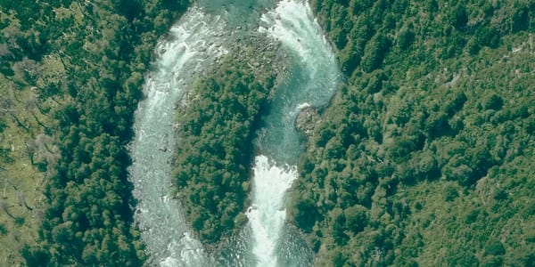
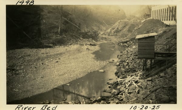
He then described how if possible, roads are generally built above a harvest operation to try to minimize this issue. Having a road above a harvest not only reduces environmental impacts but is also more practical and safer for the Loggers. The transportation of sediment in ecosystems that have recently been clear-cut also becomes heightened and is visible in the water during flooding events. Downstream of the Middle Fork drainage on the main Nooksack, evidence of this sediment transport is obvious due to the constant changes of the Nooksack delta and the alteration of the riverbed. People north of Bellingham in Everson and Ferndale have shown concern about this issue due to the occasional flooding and destruction of farmland and property like the flood that occurred in 2021.
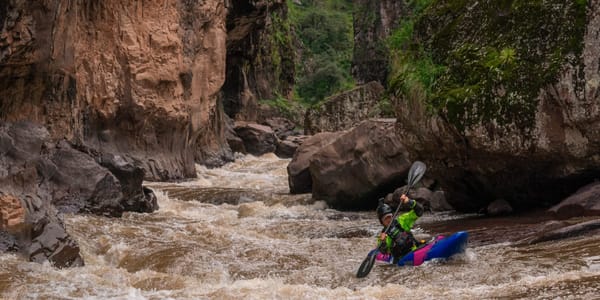
Will Henkel, a Bellingham local and avid whitewater kayaker, says that he has seen the increase in flooding firsthand. “Looking at the historic gauge, it seems that the river is spiking at a higher rate,” says Henkel. Henkel paddles the Middle Fork Nooksack regularly and described a time in October when the flow rate of the river had tripled just in the time between leaving his house and arriving at the river.
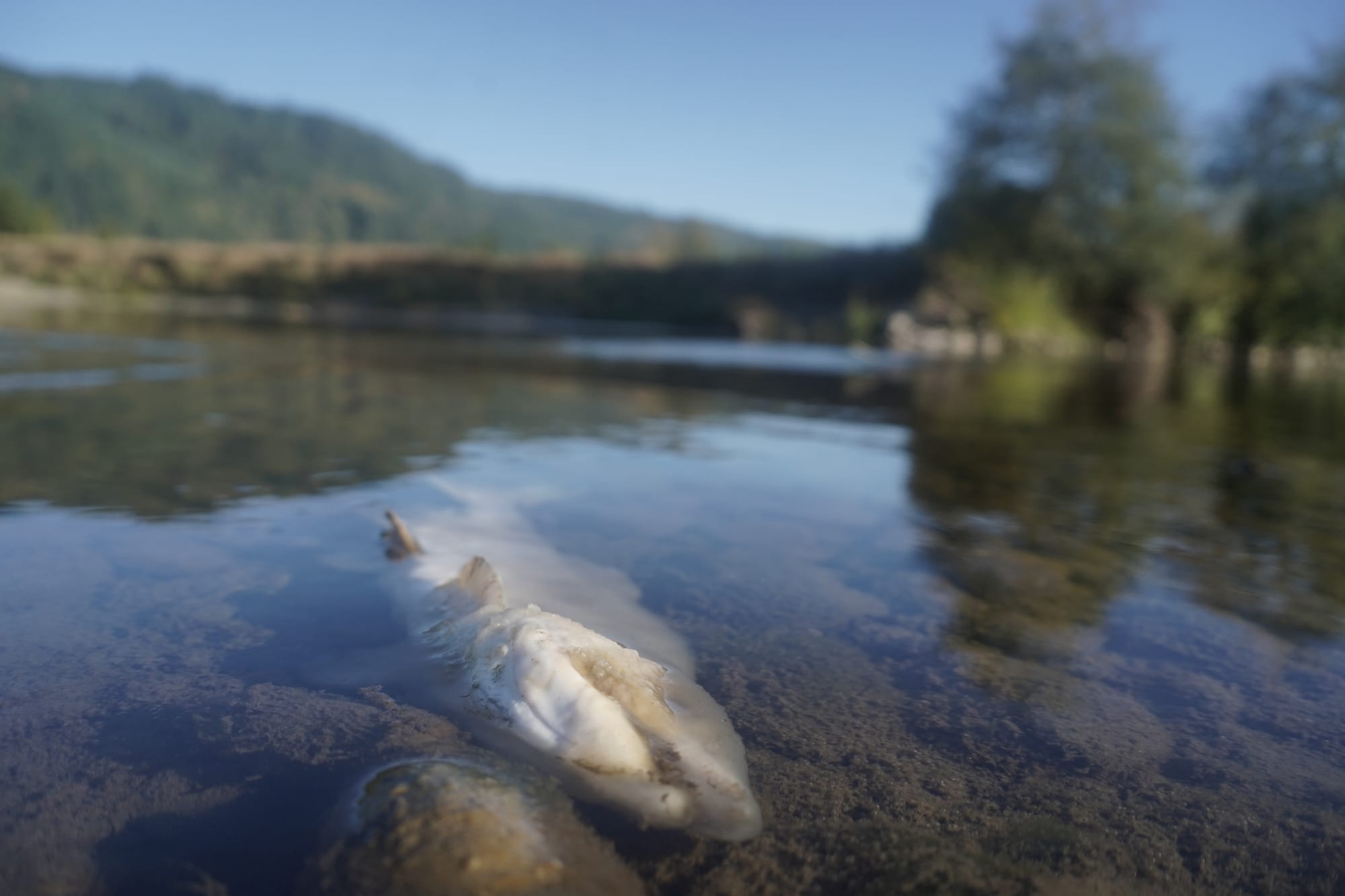
As large flooding events such as the one that occurred in 2021 are less common than small flash floods, it is the repetitive nature of the small floods that greatly affect salmon habitat.
“Salmon need clear, clean, and cold water, and clear-cut runoff affects all three,” says Lloyd.
Salmon gills are very sensitive, and they need clean water. Dirty water also impairs their sense of smell, which is how they navigate back to their historic spawning grounds. Along with heavy sediment transportation, logging also has effects on water temperature and seasonal flow rate, all of which affect salmon habitat.
“We should have a lot of water with higher flows in the winter but also a maintained cold water flow during the summer. Now what's happening is high water in the winter and really low water in the summer. Low volume in the river in the summer increases temperature,” says Lloyd.
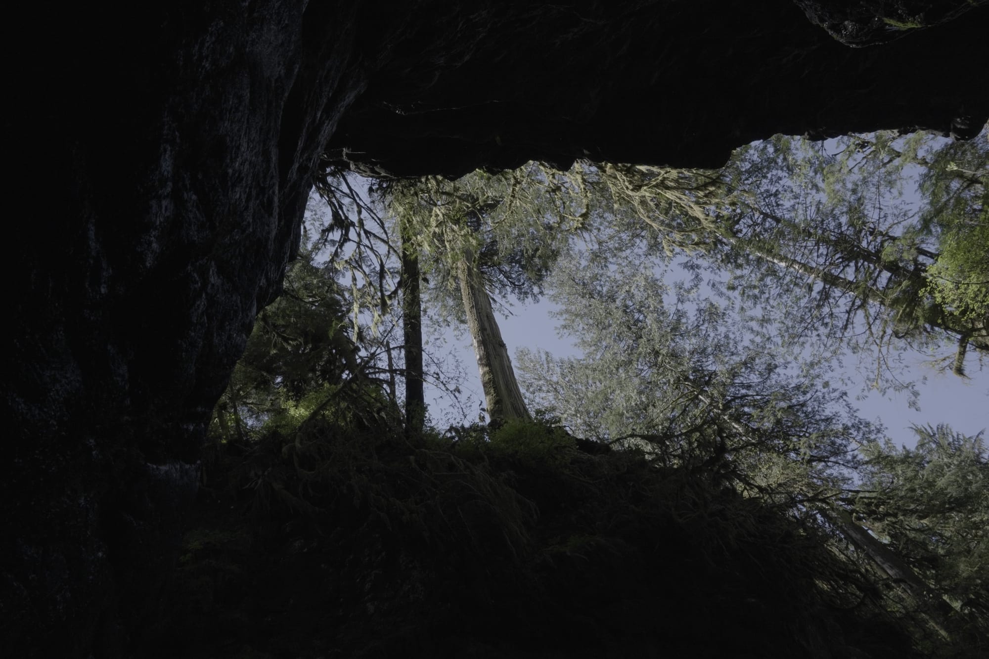
The mid-40s to 50 degrees F is prime salmon temperature, and during the summer water temperatures exceed this limit due to low volume in the river. Lloyd says another reason for water temperature increase is the lack of adequate riparian boundaries or buffers, which provide shade from direct solar heat and keep the riverbed cool through insulation. Lloyd says different clear-cutting practices could help keep rivers cold and flowing at a more consistent rate in the summer months. She believes the introduction of circular clear-cutting could help provide shade, keeping fallen snow on the forest floor longer and thereby prolonging coldwater runoff from snow. Hankey says this is one of the newer discussions happening among many natural resource and land management groups right now. He says there are scientists and hydrologists studying techniques for cutting to maximize snow load and retention in late spring.
Hankey says the DNR takes measures before a timber sale is proposed to see if the area would cause flooding if clear-cut. For specific sub-basins that are predicted to be more susceptible to peak flows, the DNR has a hydrologist on staff who will analyze the area and calculate thresholds of how much can be harvested while keeping peak flows below a 10% increase.“If you can demonstrate that your plant harvest activity should not trigger increases in peak flows above a 10% threshold, then you can proceed forward,” says Hankey.
Proposed solutions to containing floodwater such as dredging and the construction of better dikes have been explored but not yet implemented due to the complexity of the situation. The towns of Everson, Ferndale, Lynden, and Sumas are all located on the Nooksack floodplain, an area that branches even farther north, crossing an international border with Canada. This international border crossing makes implementing flood-related laws and regulations difficult, as flood regulations differ between Washington and Canada.
As no solutions to flooding regarding logging practices have been proposed or implemented, Whatcom County took their approach to a solution in 2022 by implementing better river gauges on the Nooksack and Sumas rivers and improving the flood warning system. As these efforts help alert residents of Everson and Sumas of upcoming floods, they do nothing for the initial prevention of floods.
This exclusive article was written by RIVERS contributor Zander Ulmer. He is a journalist and whitewater kayaker based in Bellingham Washington.
For more information specific to future of forstry practices in Washington State check out the RIVERS curated video series:
Most informative videos on the future of Washington States forests